
QGIS TRAINING
QGIS TRAINING
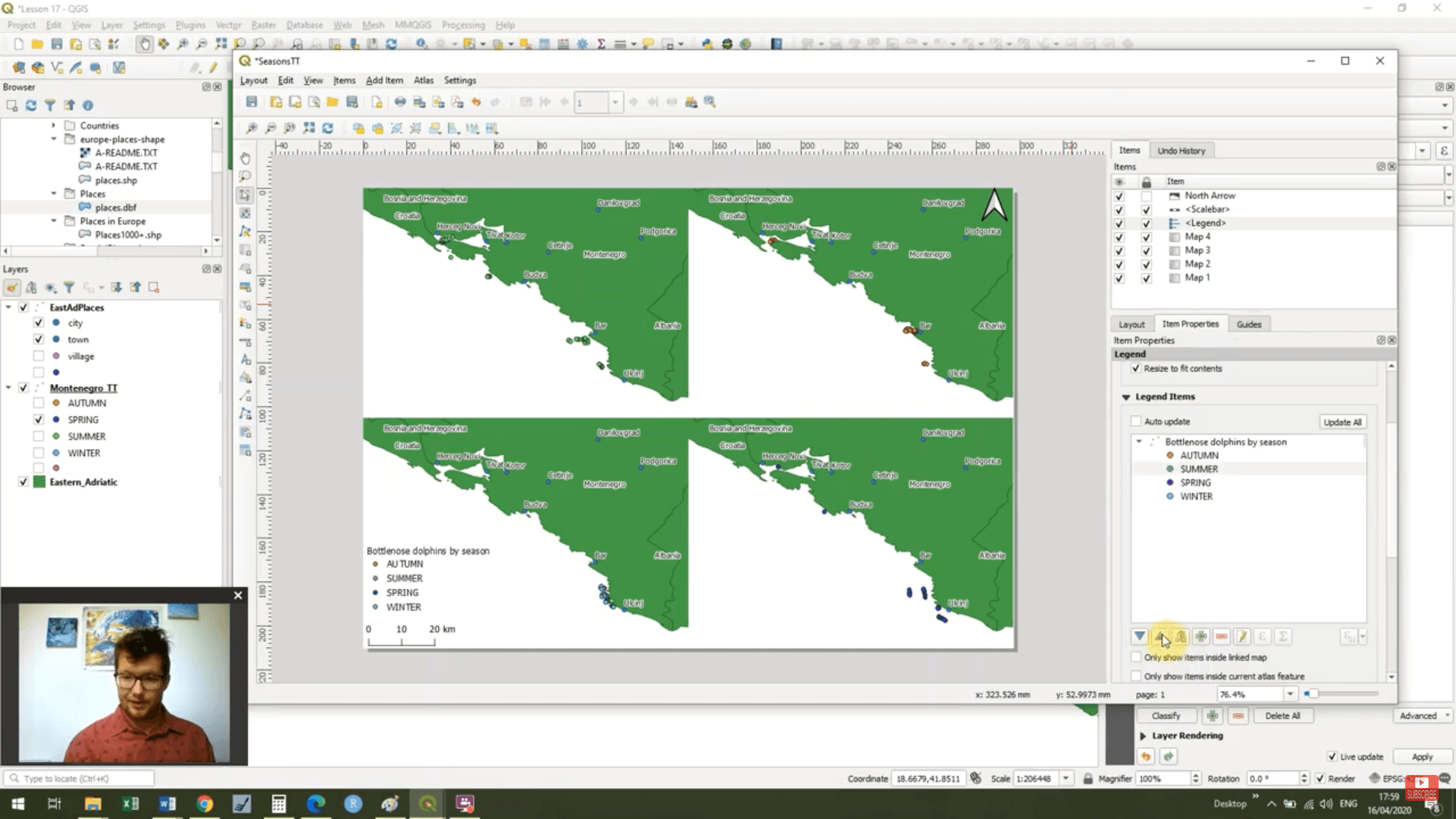
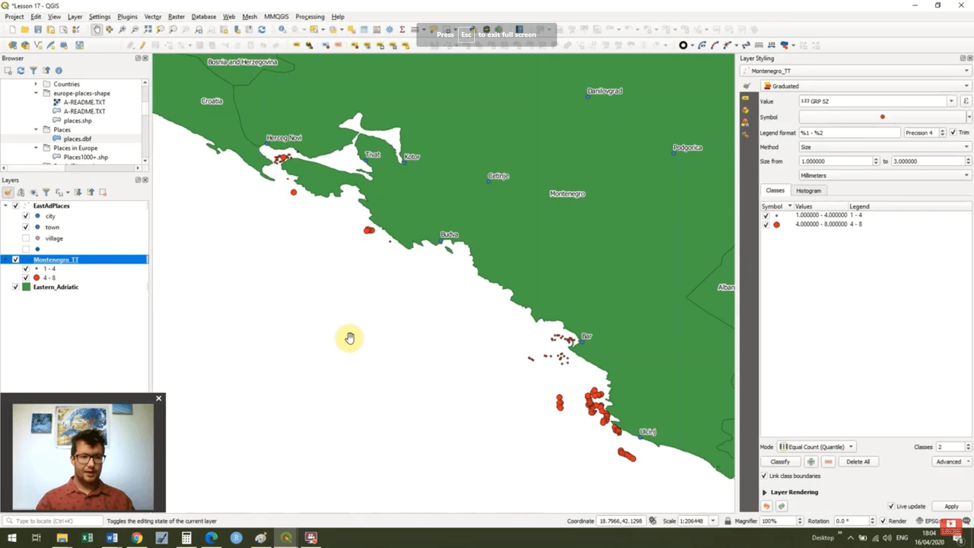
Look at what we've achieved in this course!
Look at what we've achieved in this course!
In this course we have started with the very basics and with only a few hours of training we are starting to make maps that not only look great but more importantly clearly display our scientific data.