
QGIS TRAINING
QGIS TRAINING
QGIS is a Free, Powerful Open-Source GIS Environment
QGIS is a Free, Powerful Open-Source GIS Environment
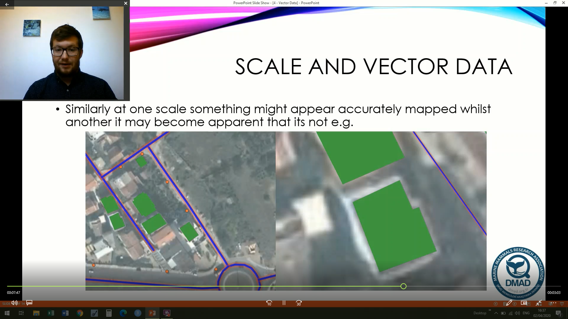
QGIS is a geographic information system (GIS) environment which allows individuals to analyse and edit spatial data as well as creating and exporting maps. This is a set of lessons that I created whilst working for DMAD during the coronavirus pandemic. Its completely free to use and although not updates since the pandemic seems to hold up reasonably well. Clicking on the video will give advice
I had not used QGIS before but needed to learn it in order to process model input data and create map outputs for my dissertation project, and the videos on your YouTube channel helped me immensely. Thank you so much for taking the time and putting in the effort to create these lessons and for making them available to the public! I am very grateful, as I am sure others are too.
Emily Daly | King's College London
QGIS Course Introduction
Intro to the course
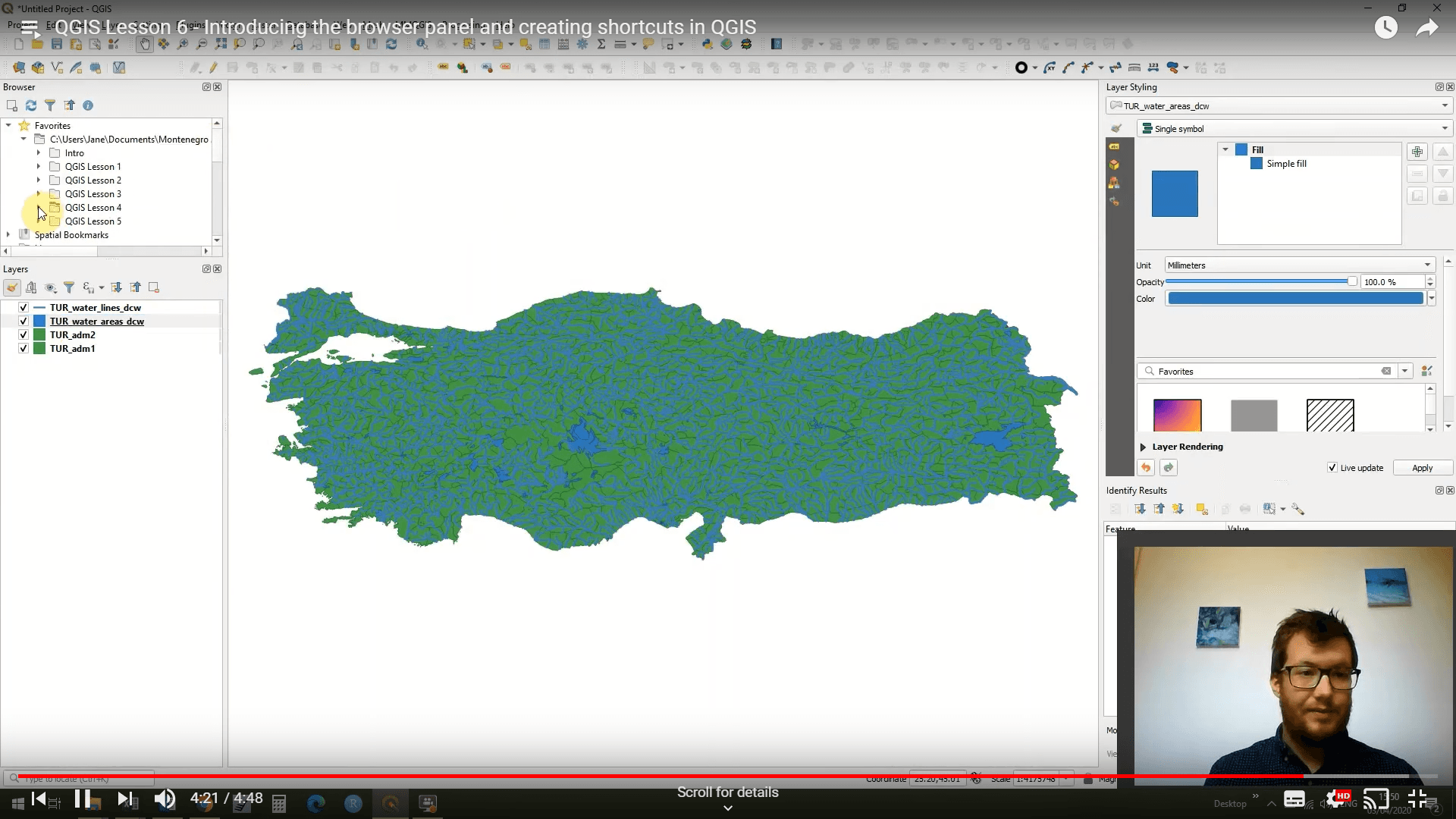
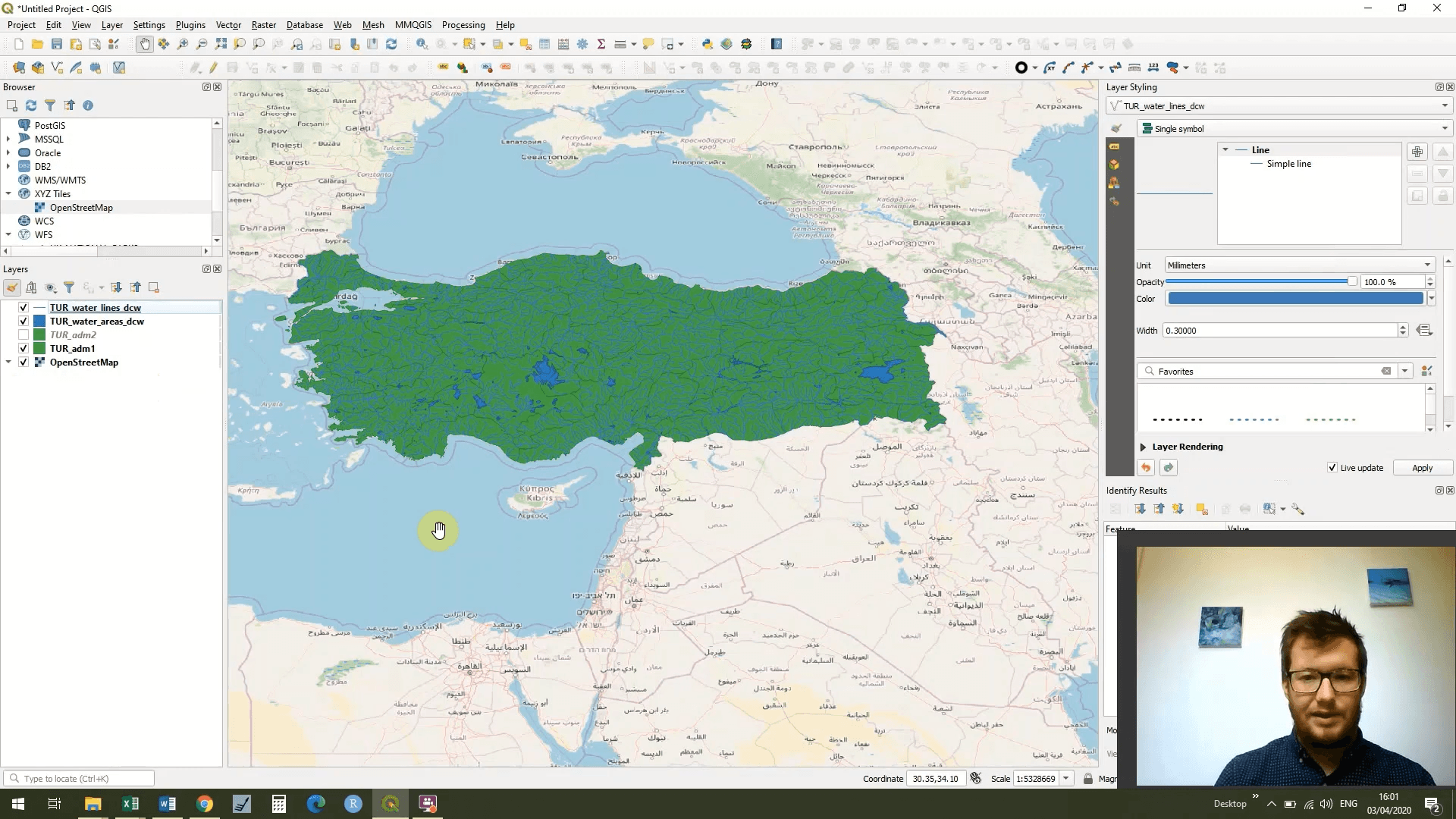
QGIS Lesson 1
An Introduction to QGIS
QGIS Lesson 2
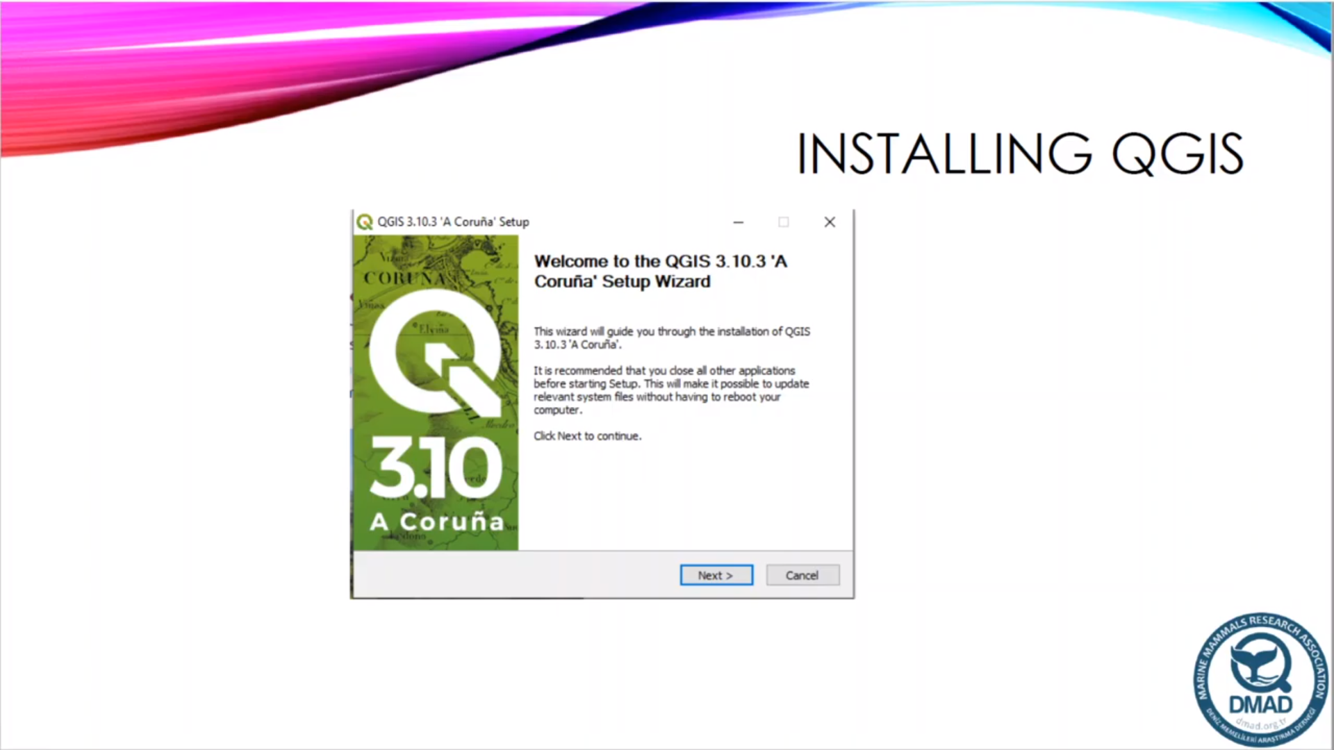
Downloading and installing QGIS
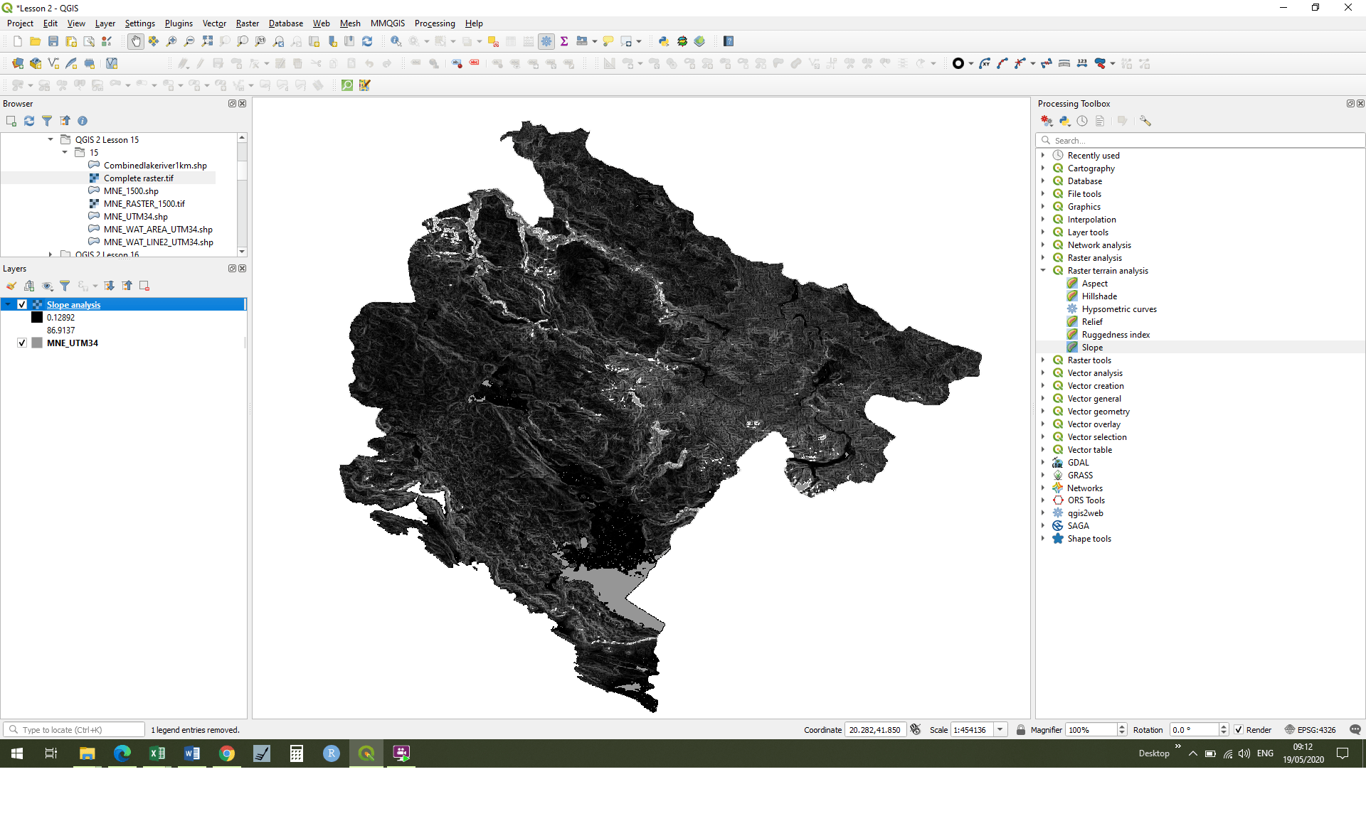
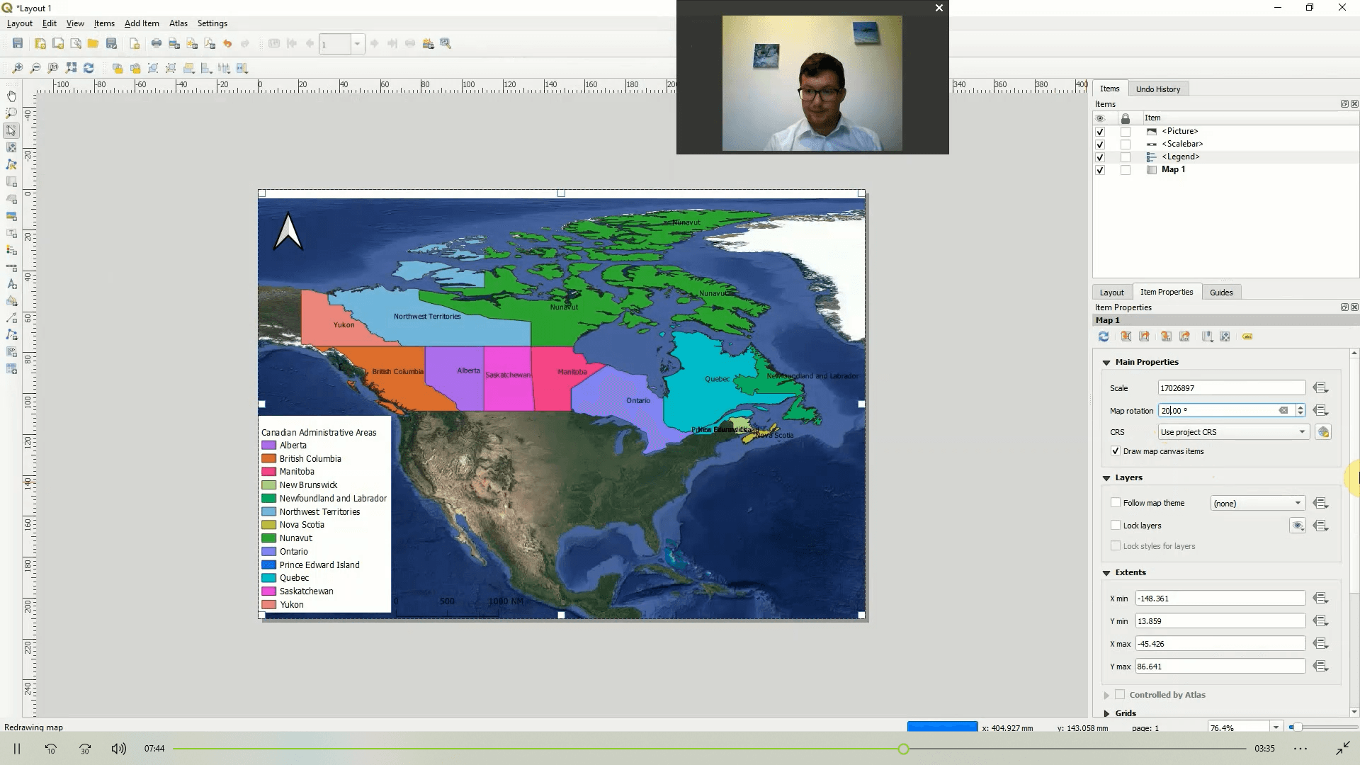
QGIS Lesson 3
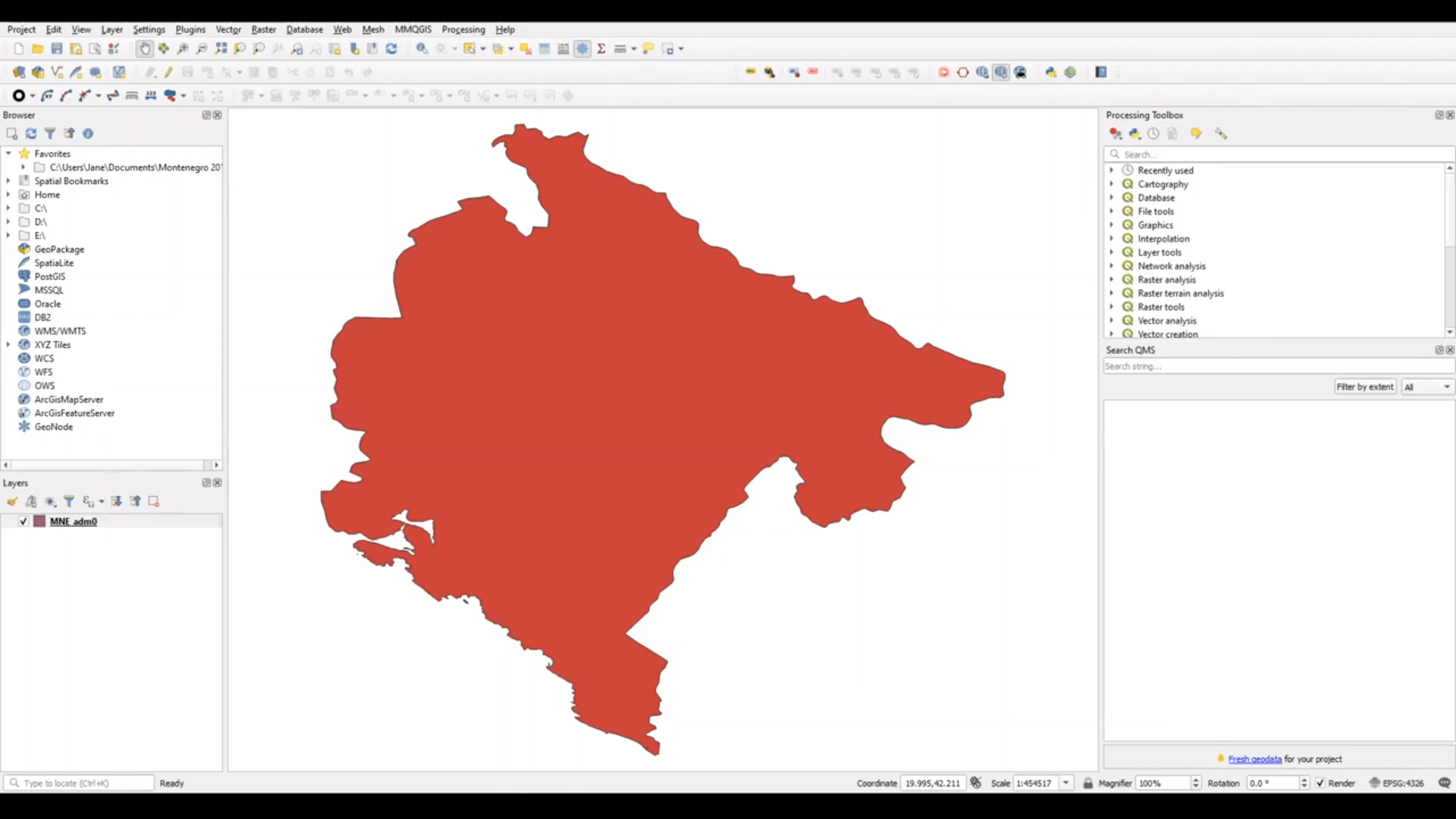
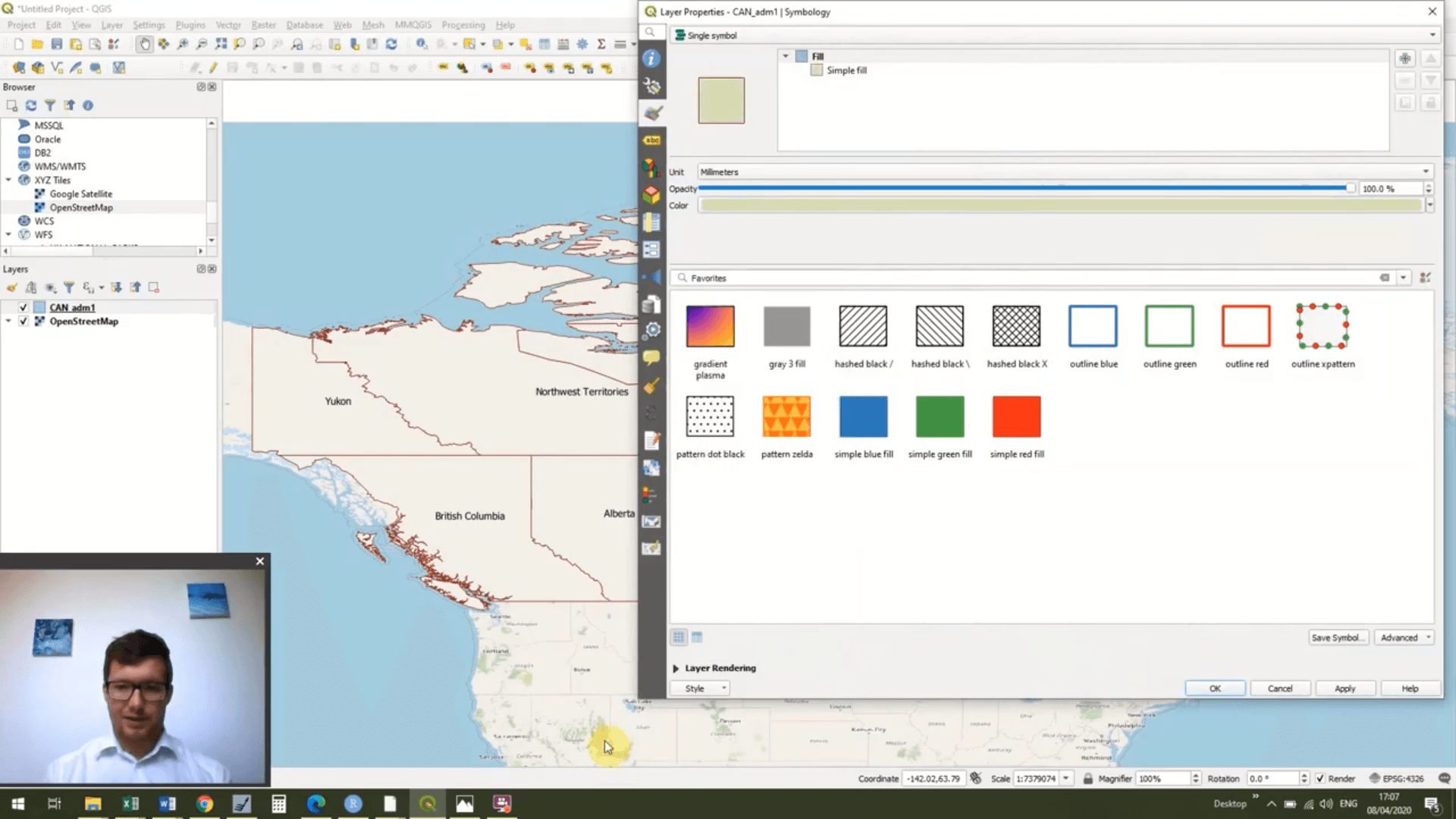
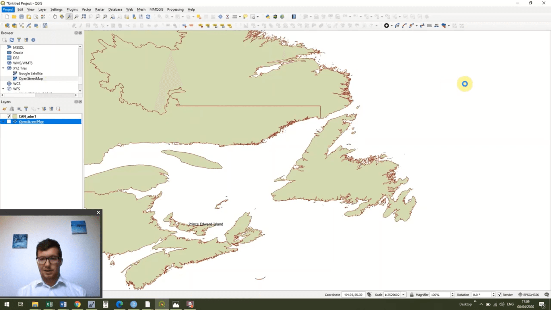
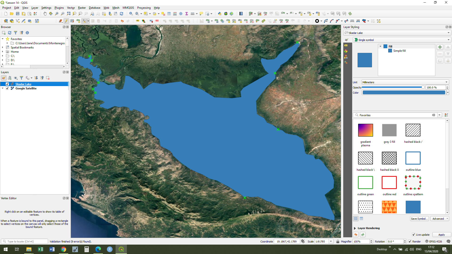
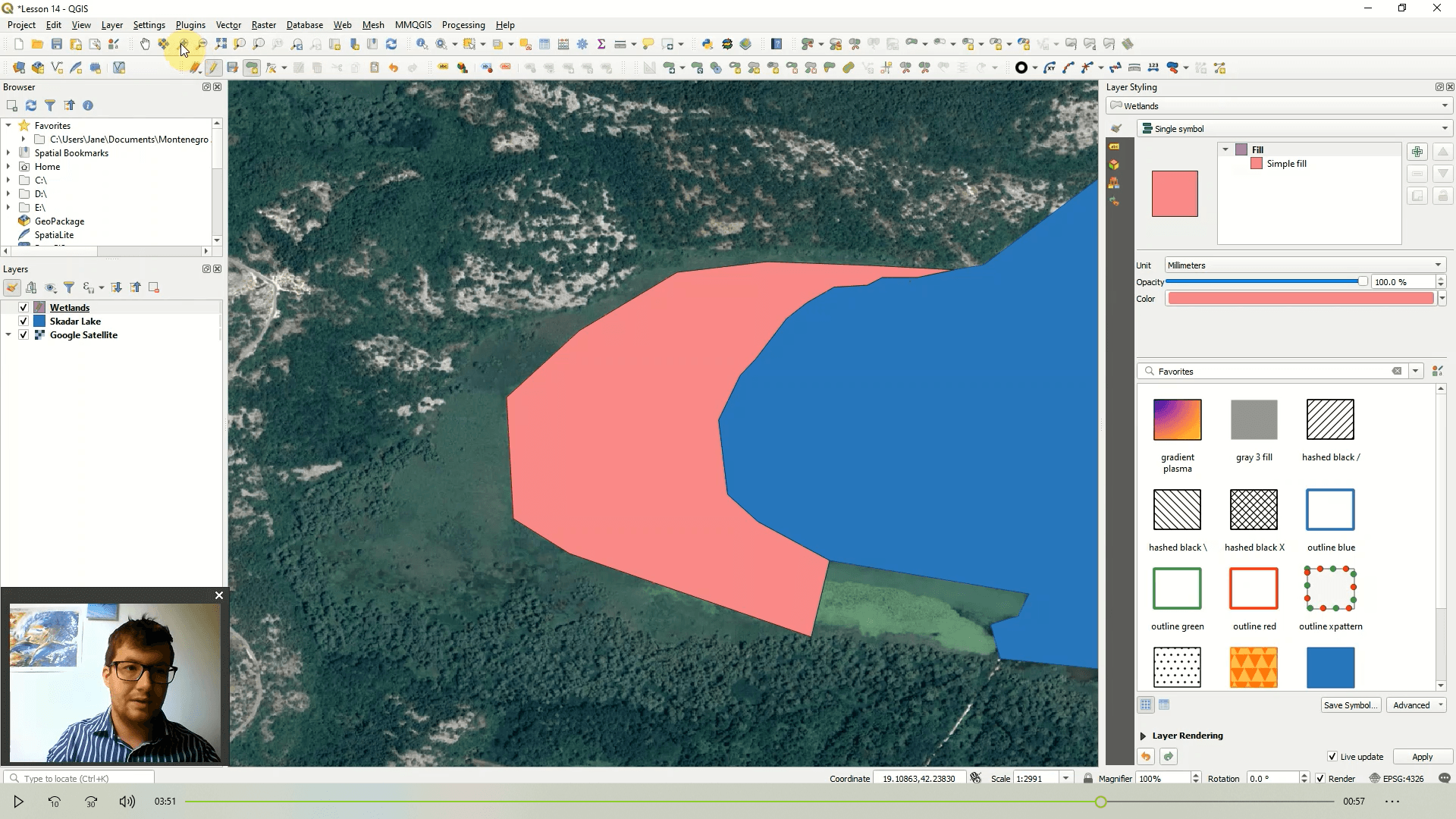
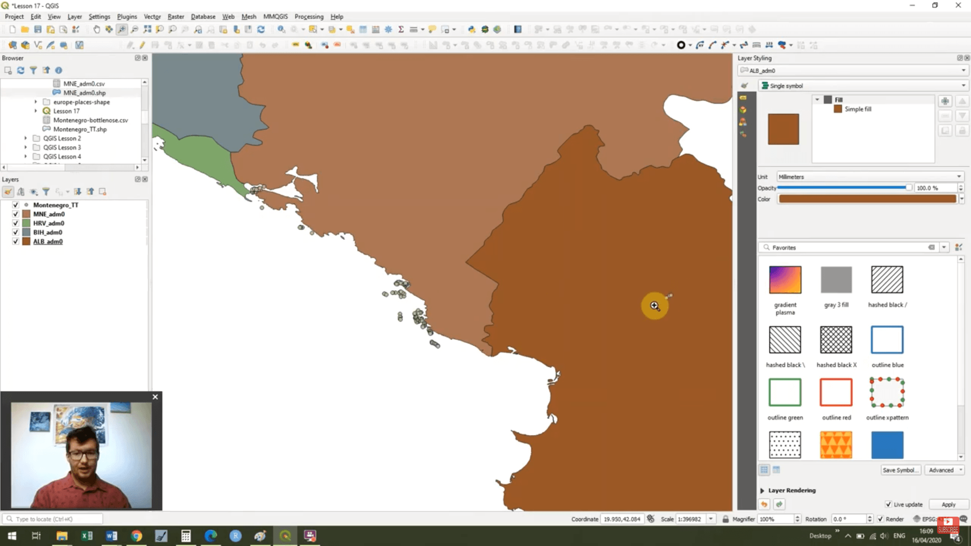
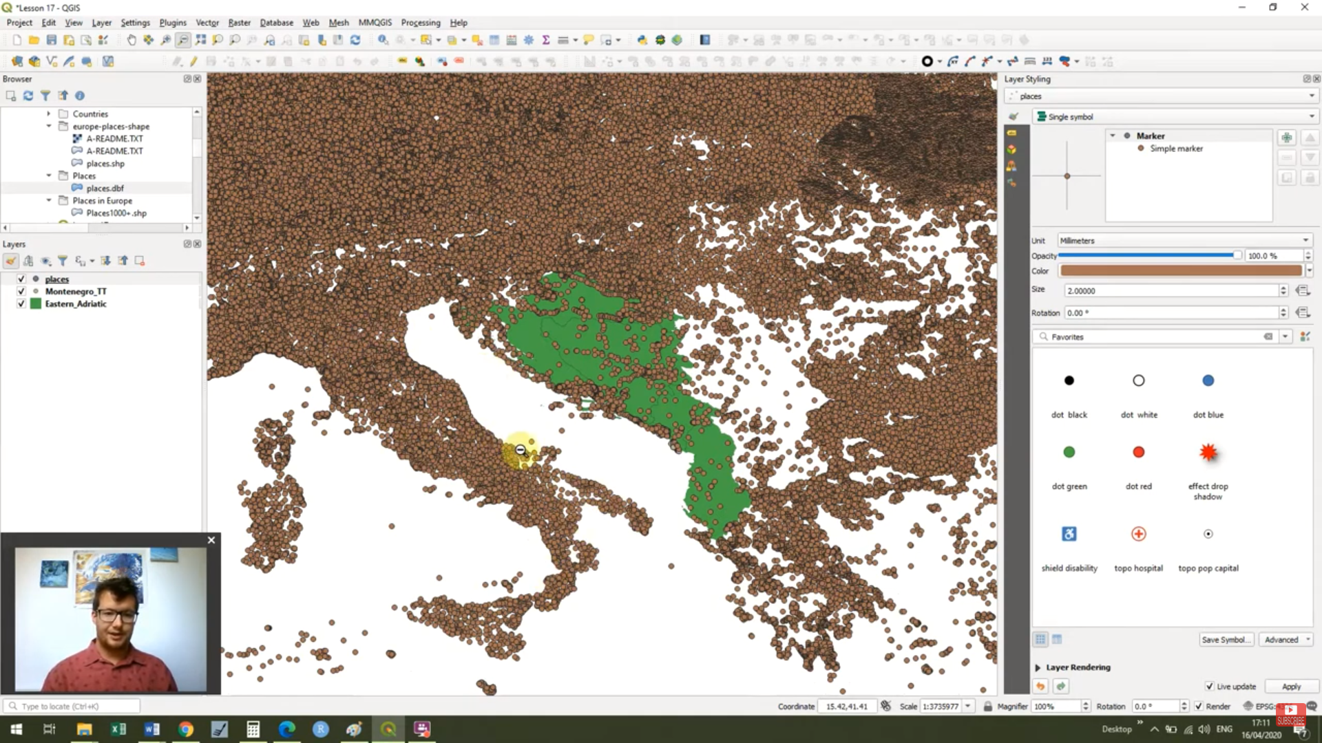
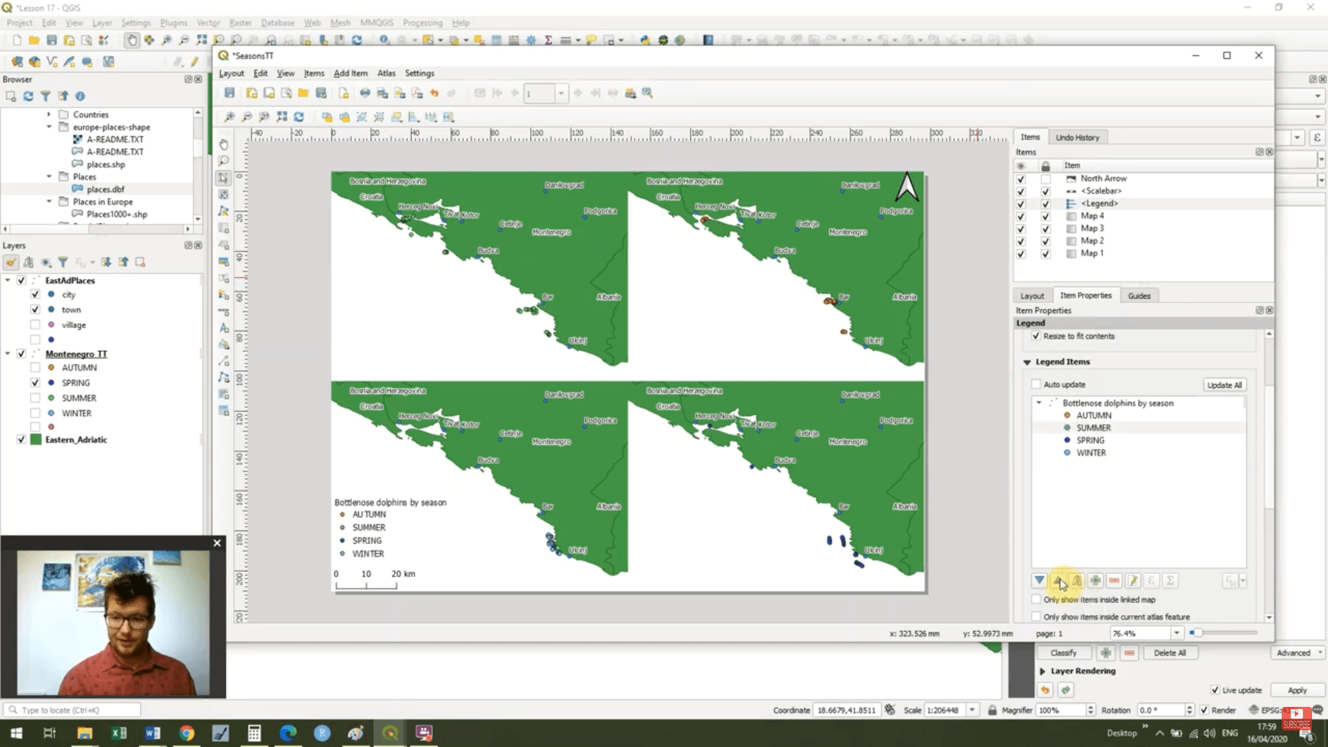
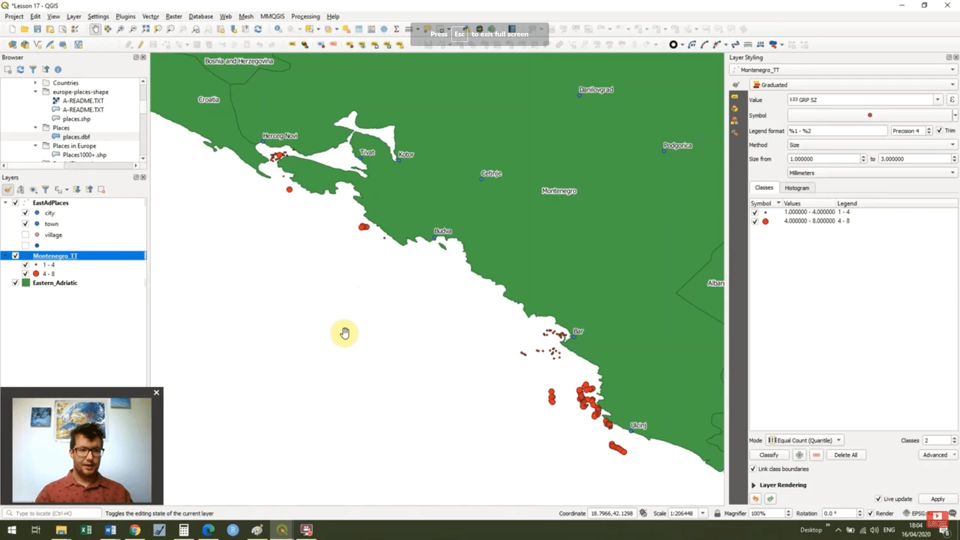
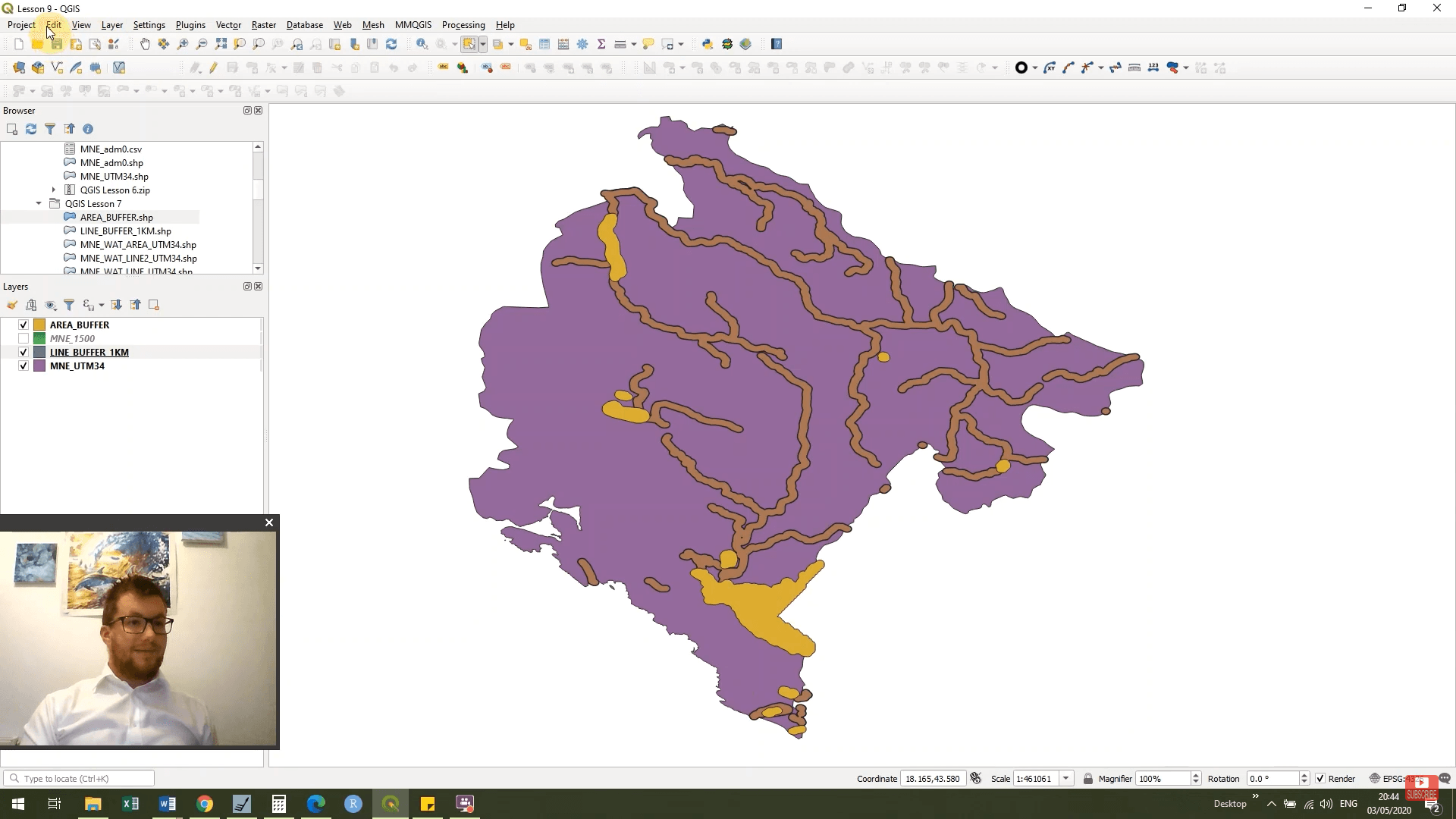
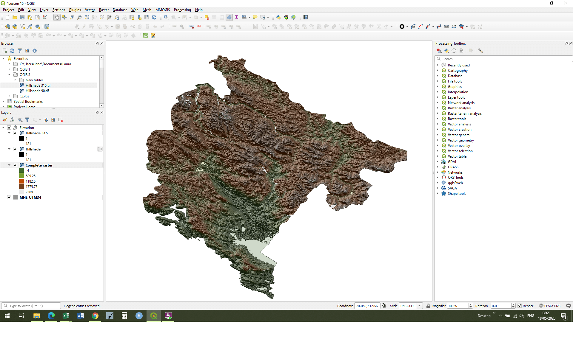
Our first map


QGIS Course 2
QGIS Course 2


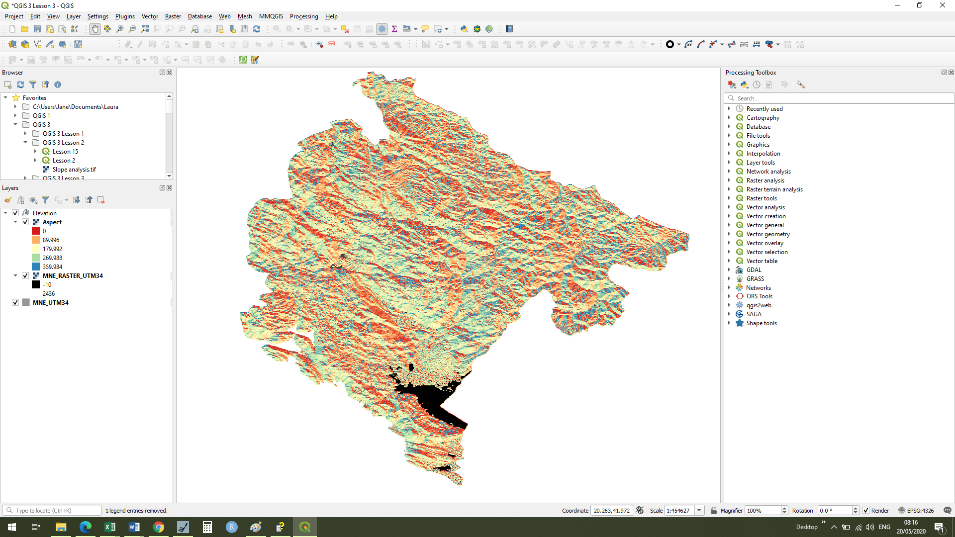
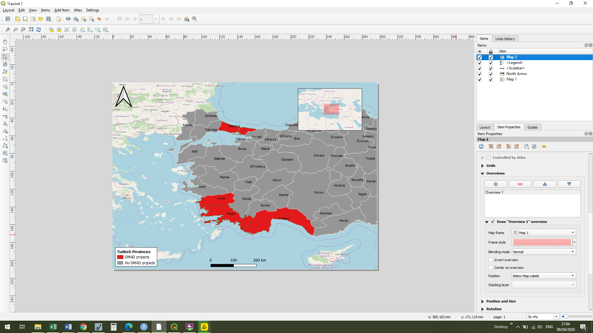
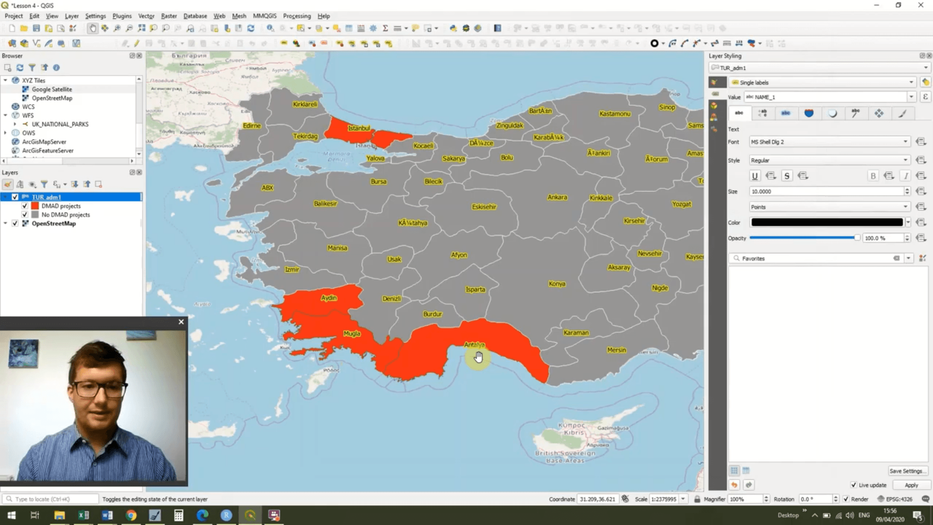
QGIS Course 3
QGIS Course 3